CHCNAV Agriculture: 22% Yield Boost & 18% Cost Savings Proven Across 50,000+ Acres
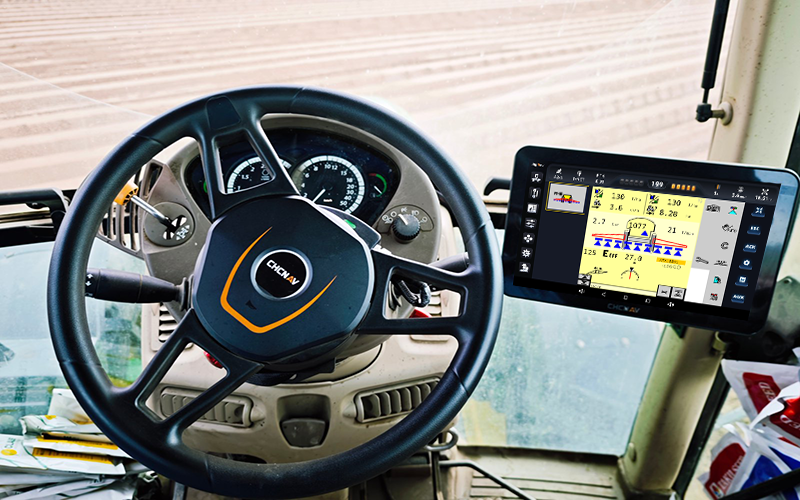
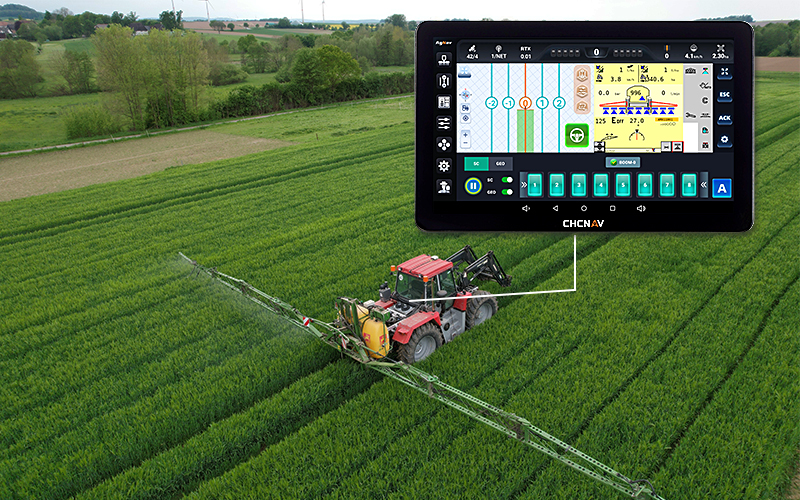
RTK-Guided Steering: Maintain ±2.5cm Tracking Precision Row After Row
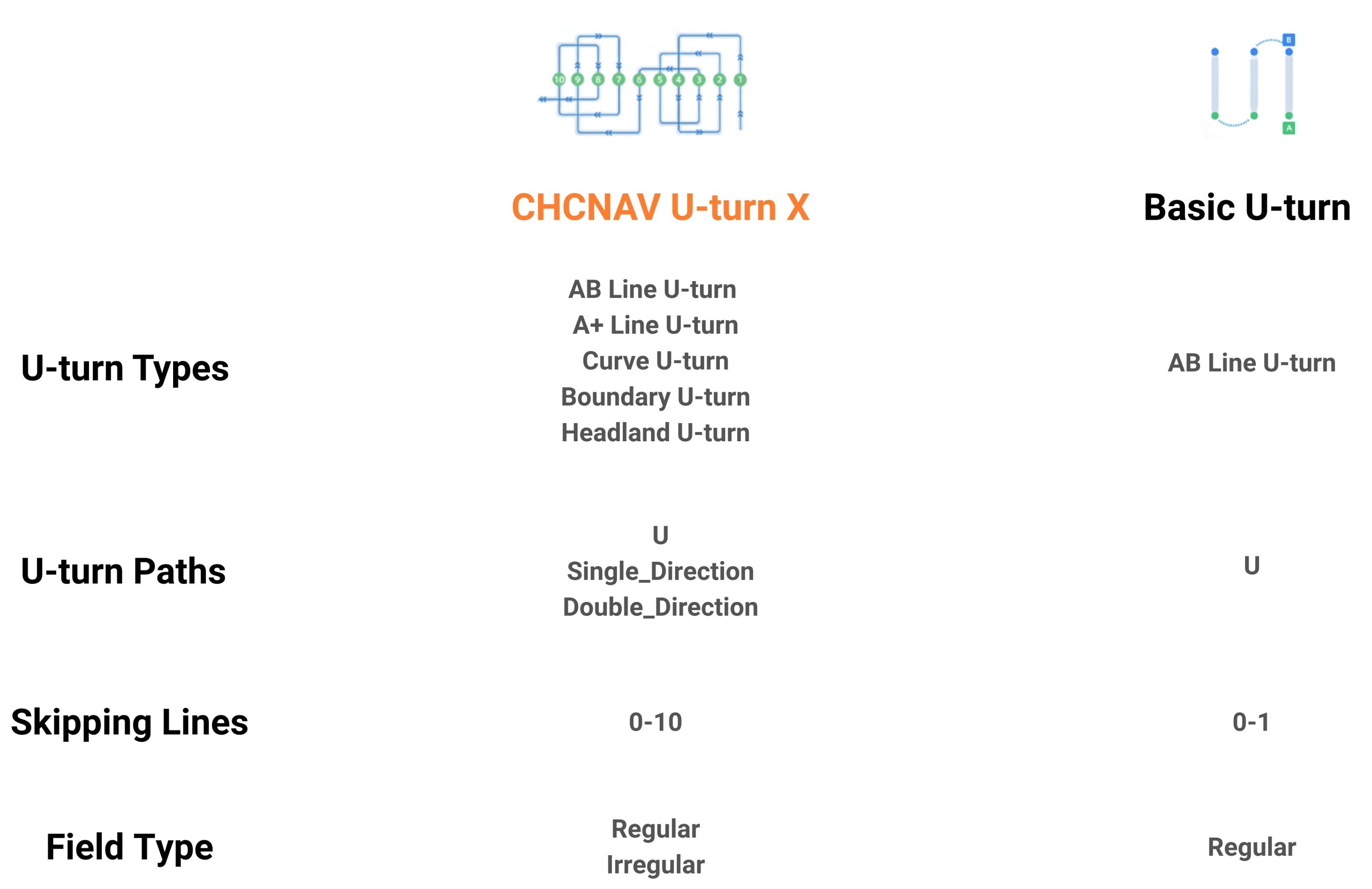
Smart Path Planning cuts overlap by 40%, boosting field efficiency 20-30% while slashing fuel use 15%+
Advanced implementation guidance ensures accuracy and straightness on slopes.
PointSky™ RTK: Centimeter Positioning Without Base Stations or Network Coverage Limits
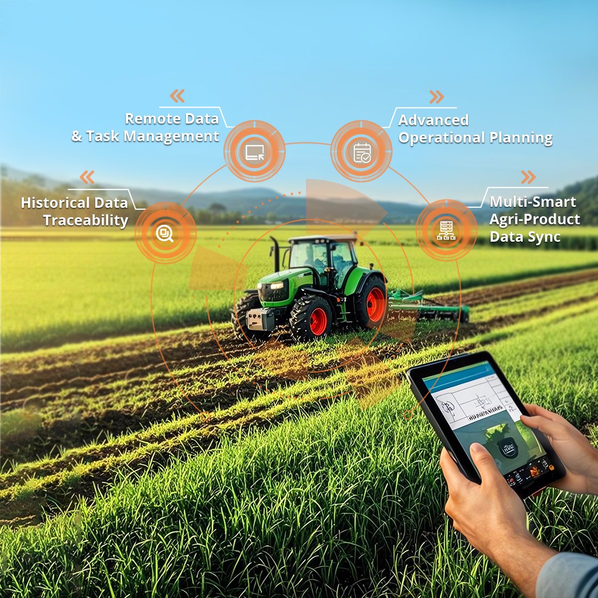
FarmMaster Platform: Real-time dashboard and remote tools for task management, data transfer, and location tracking.
Four-channel cameras provide a panoramic view, improving safety and reliability for large harvesters and other vehicles during farming operations.
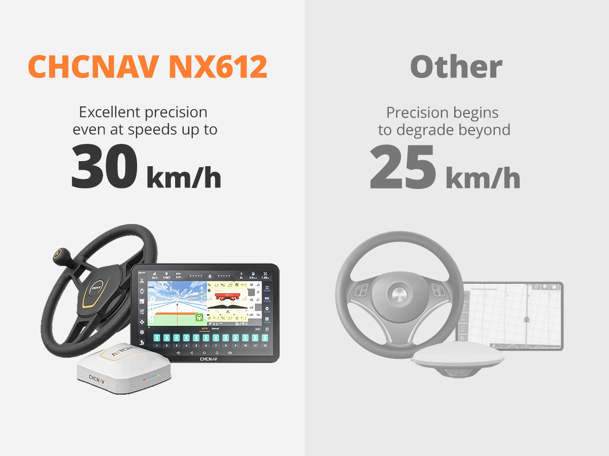
NX612 breaks through the traditional 25km/h industry limit
Multi-Operation Capability Across Crop Types
Smart Tasking: From Field Prep to Harvest Automation
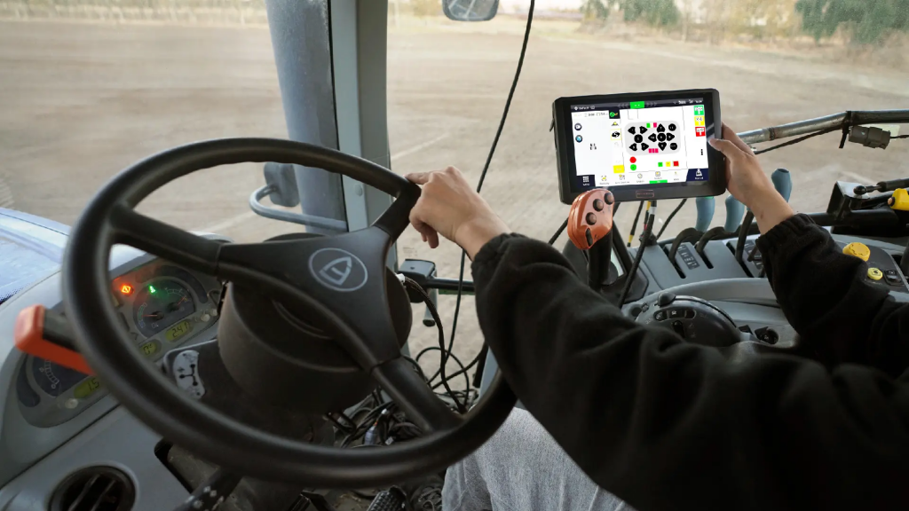
Virtual terminal control, multiple virtual terminal switching
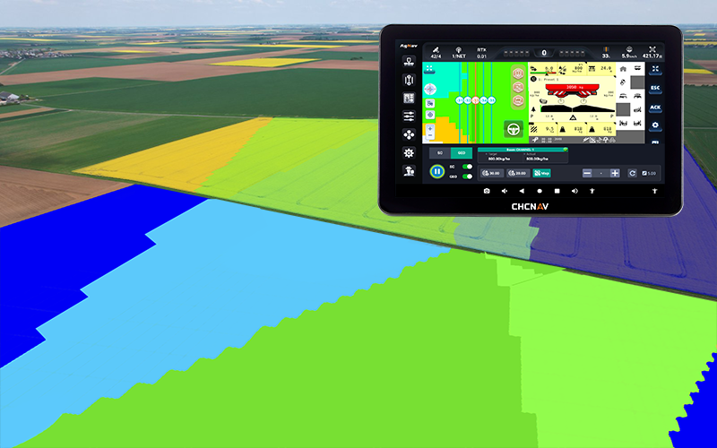
Segmented control, based on trajectory coverage, based on inside and outside boundaries
Variable control, prescription map import and recognition, variable operation
Handle control, handle button function configuration, implementation of operations
At CHC Navigation,we provide end-to-end solutions through
technology integration. Our services include ground-to-airborne mapping, GNSS surveying, 3D mobile mapping, machine control, and agricultural auto-steering. Our real-time GNSS augmentation
services improve all our solutions’ accuracy and reliability, changing how you measure and navigate the world.


Providing on-site support, product trials & debugging, and technical consultations.
Get more product models,purchase/cooperation processand company introduction
We will get back to you within one working day

Free your hands and make full advantage of every inch of the soil.